Snacks for the Ride

Water and snacks are two mainstays of any bike ride. Among our favorites? Nutrition bars and trail mix, of course.

Still, it’s easy to find yourself in a rut. If you’re craving something different try Diamond Head cantaloupe.

I was intrigued. Dried cantaloupe? That was a first for me! And it did not disappoint. What a great alternative to raisins and cranberries!

I found this jewel in our local Food4Less, but Diamond Head is everywhere. If you like candy, nuts, trail mix, or fruit you’ve probably bought Diamond Head.

Don’t feel like running to the store? Order directly from Nature’s World. Family-owned and based in the Pacific Northwest, they offer a wide variety of snacks, including dried okra, beets, and chili mangos. Save $$$ by purchasing Trail mix in bulk.

Yum!

It’s Spring! (Almost)

Time to get out your bike and hit the road.

With temps warming up the next few days, consider riding all or part of the Twin Bridges Scenic Bikeway. One of our favorites!

It’s hard to beat the mountain views, although the farms and animals on Tyler Road are the best part of the ride in my mind.

When you arrive at the Tumalo Reservoir portion of the loop, consider popping over to the historic bridge.

It’s too early for wildflowers, so plan on coming back in May and June.

With an electric bike this road trip can start at home.

From our front door – or to be precise, the garage – we head out Mt. Washington, ride down Archie Briggs, then aim toward Tumalo State Park, then up Tumalo Reservoir Road. You can cross Highway 20 and go to Tumalo or not. Either way, no bike rack, no car.

Riding the DRT

When the sun shines and the wind subsides, get outside!

DRT

I love the Deschutes River Trail in Winter. My favorite section starts at Pioneer Park and wanders past First Street Rapids, Sawyer Park, and Archie Briggs, through to canyon overlooks where you can see the Riley Ranch Nature Preserve. Continue through grasses and neighborhoods to the trail’s end, which you can’t miss. Pass around the gate and ride down a short driveway to Putnam. From there follow Putnam uphill to Mt. Washington Drive.

December

This time of year expect to see decorations on trees. Well wishes and ornaments are common.

Ride Considerately

The stretch from Pioneer Park to the canyon overlooks has moderate traffic, mostly on foot. Be courteous and mindful of walkers and dog friends. Thereafter you will likely have the trail to yourself.

Maston

Everyone loves Maston in the winter as the trail remains in good condition. Some would say it’s the best time of year to ride there. Nevertheless, I encourage you to return when the flowers bloom.

Any time of year the mountain views are spectacular.

As always, enjoy!

Miles of All-Season eBike Paradise

Have you met the Madras Trails? If not, you’re missing out.

Mountain views, juniper forests, a few whoop-de-dos, and rabbitbrush. Oh, did I mention the Valley of the Bones?

This map will give you an overview. As COTA points out, this is an excellent winter trail and we concur. We scouted it after heavy rains in the area and there was little-to-no evidence of path degradation. Runoff crossed the trail in one spot up in the junipers but left soils intact.

What to Expect

  • Open sight lines
  • Packed soil
  • Modest elevation gains
  • Berms here and there
  • Intersecting horse trails
  • Opportunities to bomb – if you’re into that
  • Technical trail features (TTFs) you can tackle or opt out of
  • eBikes welcome

Cows and Danger Noodles

Don’t be discouraged by the signs. Cows have grazed here, and may in the future, but the trails are clear and clean. Since sight lines are excellent you will have ample warning should one be in the vicinity.

As to the danger noodles, yes there is a possibility. However, most of the terrain is not conducive to where snakes like to hang out – at least in our experience. (Think Steelhead Falls or Smith Rock.)

Any who … I’m one of those people who’ve grown to dislike all snakes (not rational I know) and I was not concerned. Like any trail, keep your eyes open. You need to do that anyway to ride, right?

The Valley of the Bones

Love, love, love this! You’ll see a few “teaser bones” leading up to the main event and VOB trail branch.

It begins with a cool technical feature. If you prefer, there is an opt-around opposite the bone marker on the other side of the wooden bridge.

You’ll know you’ve arrived when you see this:

Elephant Wearing a Bow Tie

Hands down, my favorite bone!

Learn More

I could go on and on. I freely admit we only explored a few miles on foot, our modus operandi when scouting trails. We will be back with our eBikes, no question! And I’m looking forward to checking out the perimeter.

So get out and ride! On the way, take City View Street and enjoy the roundabout art.

For more photos of the Madras Trails check out my Flickr album.

Gravel Riding on FS 2610 and Coyote Creek Road

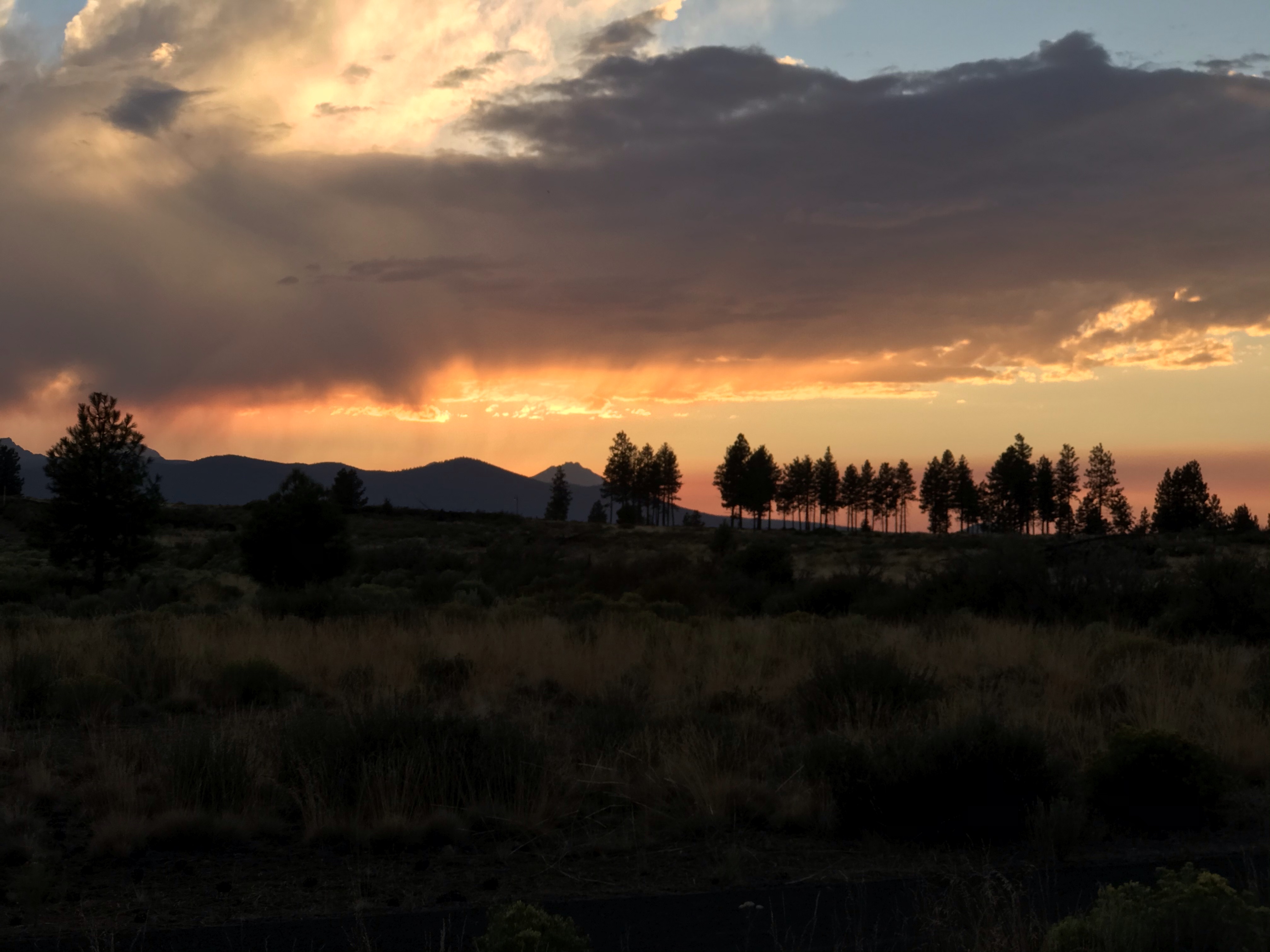
If you enjoy mountain views, green meadows, and wildflowers consider riding Coyote Creek and Forest Service (FS) Road 2610 in the Ochocos.


The starting point is the same as the Big Summit Prairie ride, but the terrain is much more lush.

Driving Directions

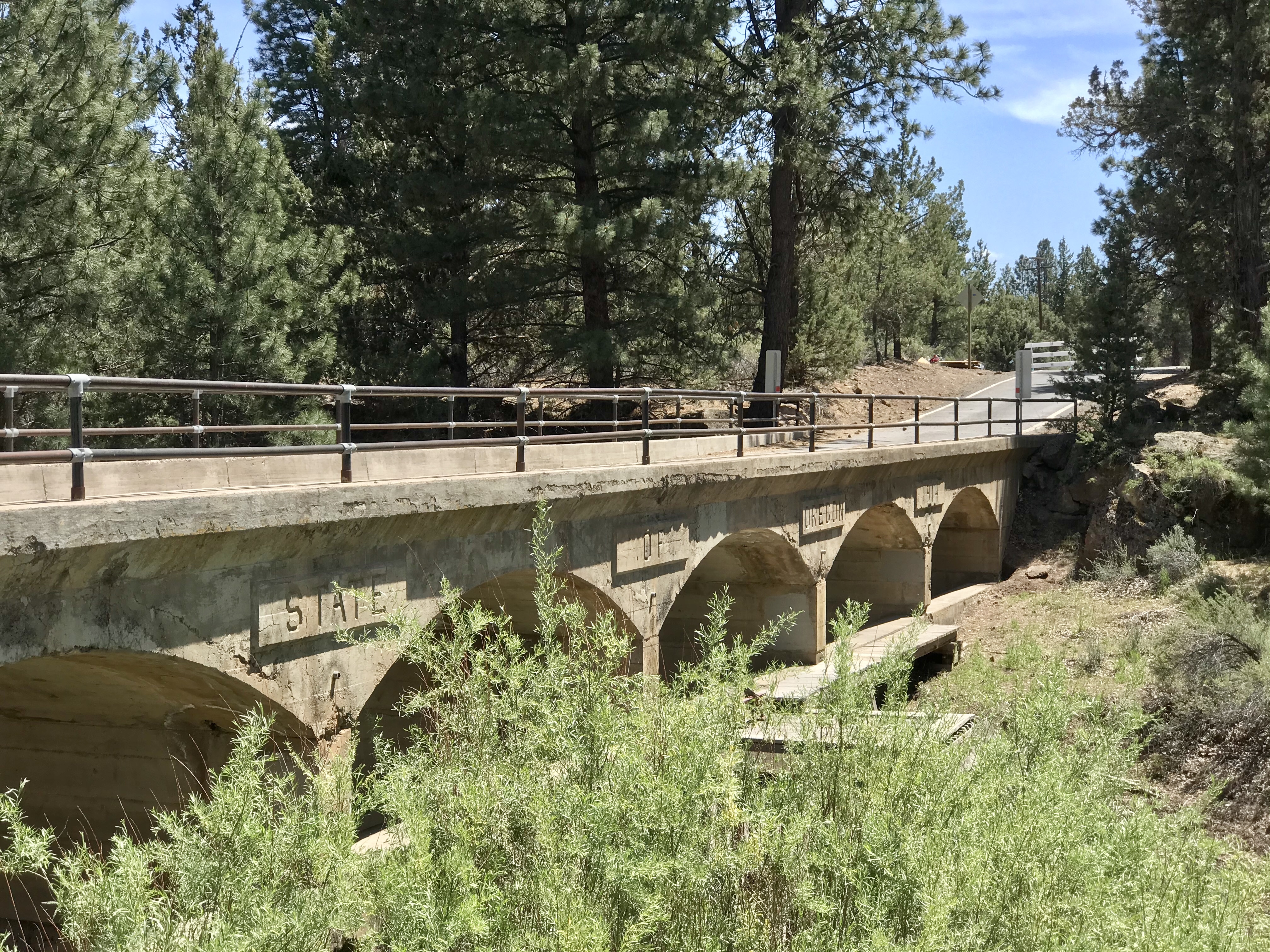
Travel to the town of Prineville, then proceed East on Highway 26 for 20 additional miles. Turn right on Ochoco Creek Road (the sign will indicate this is also the route to Big Summit Prairie).

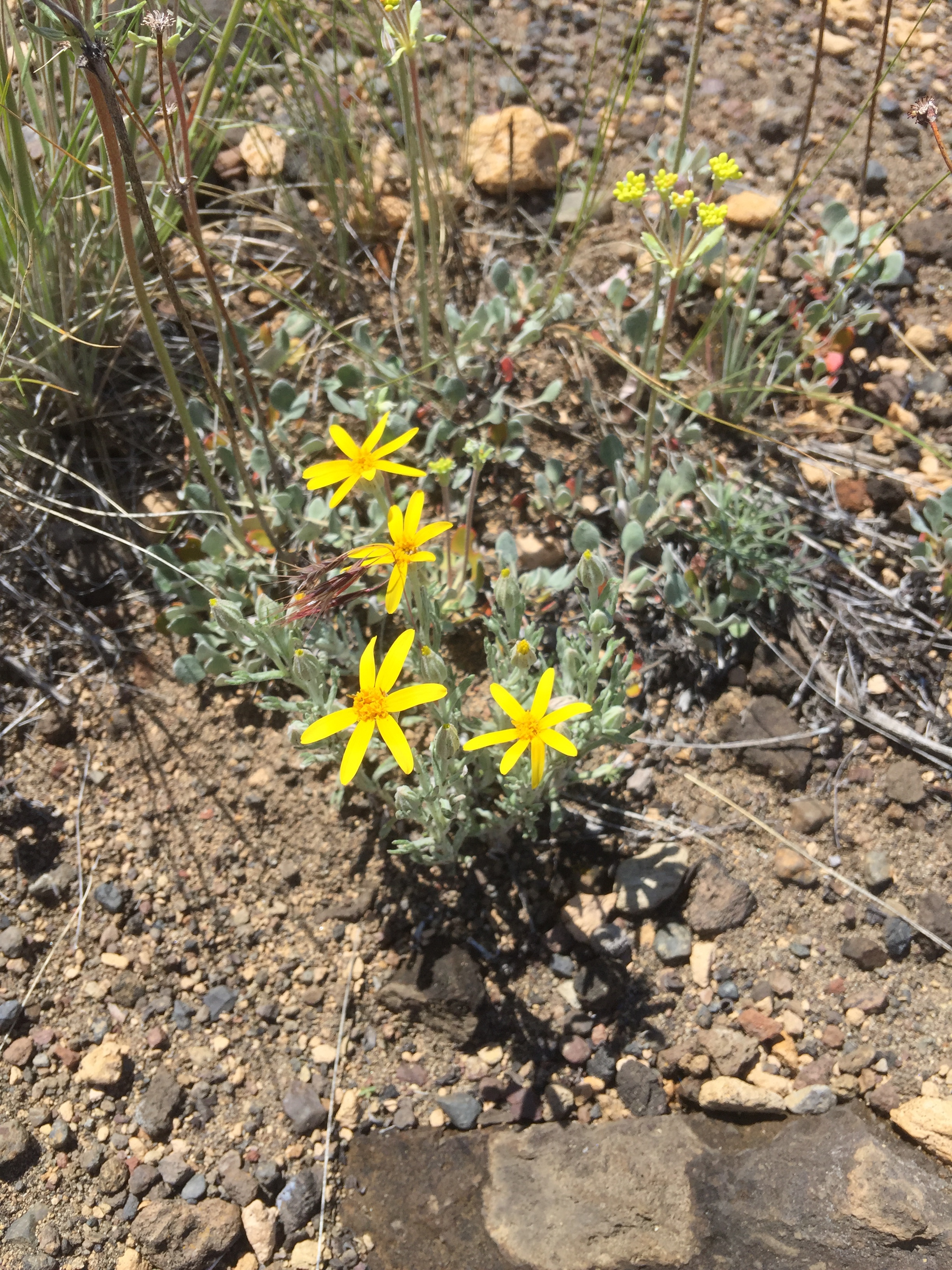
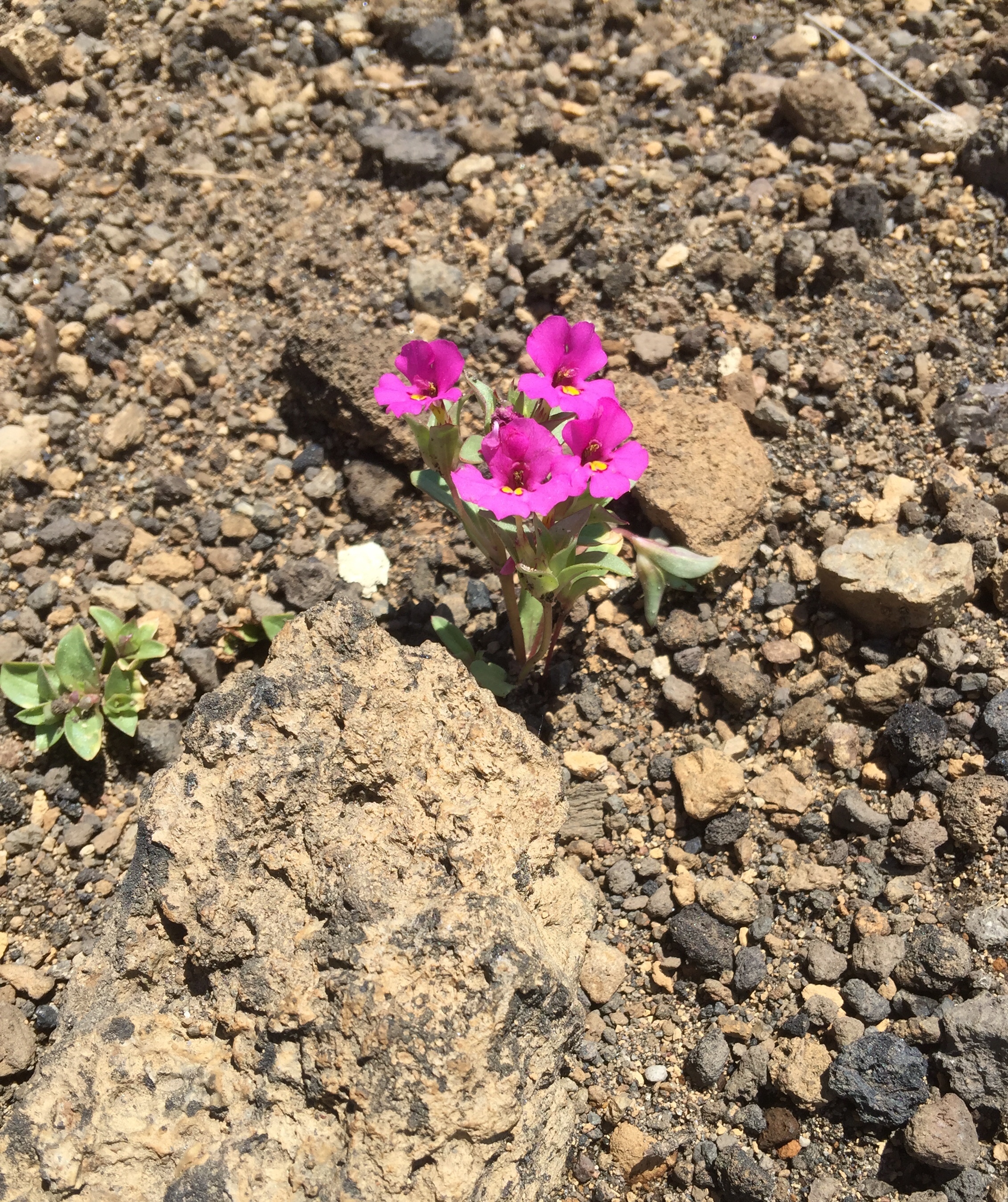
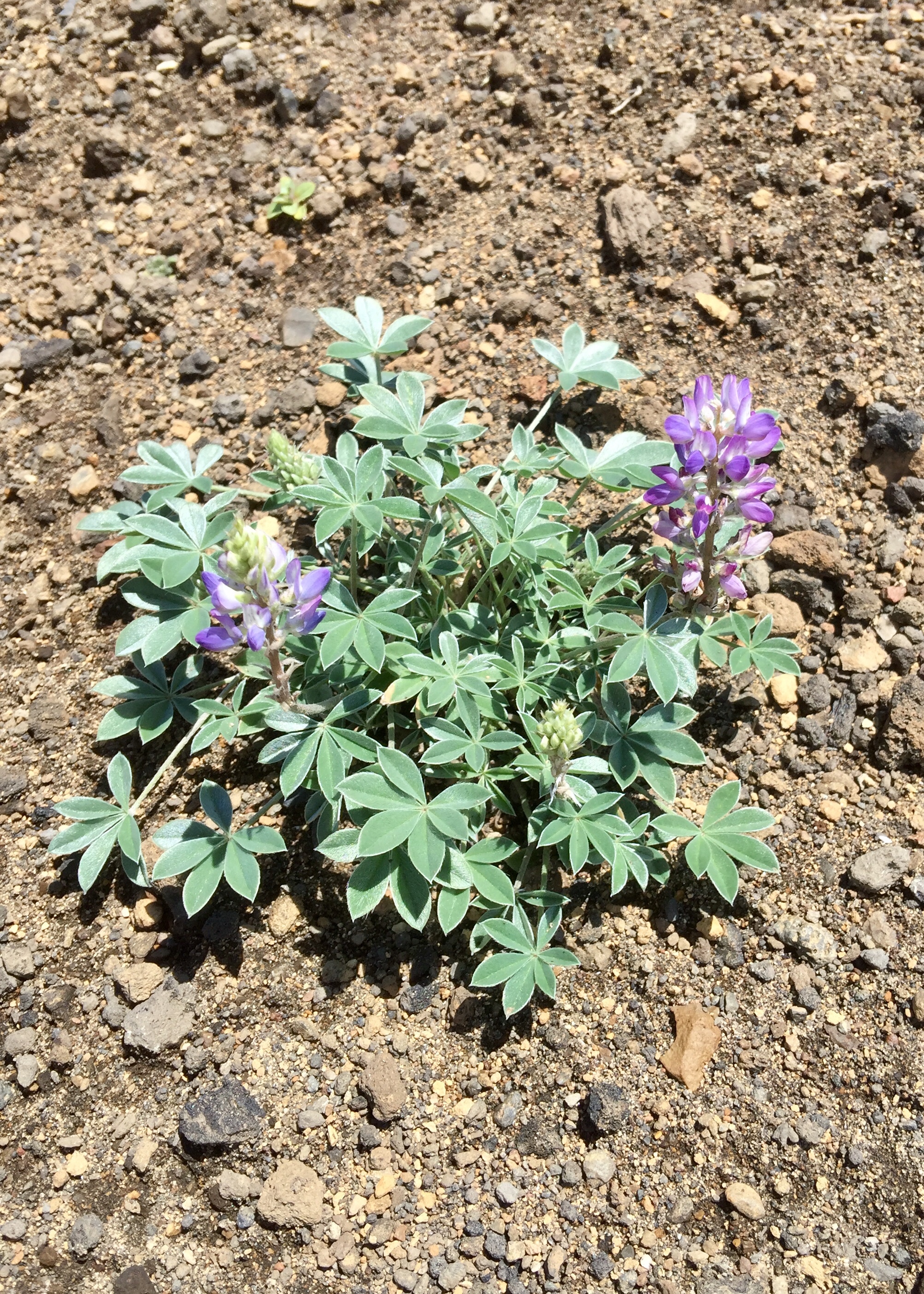
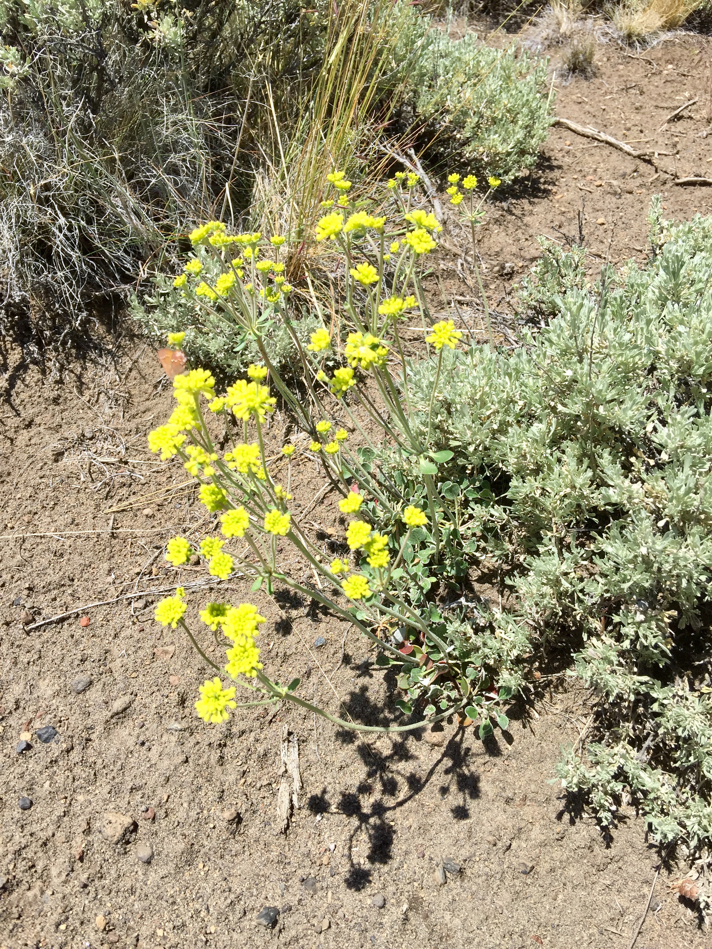
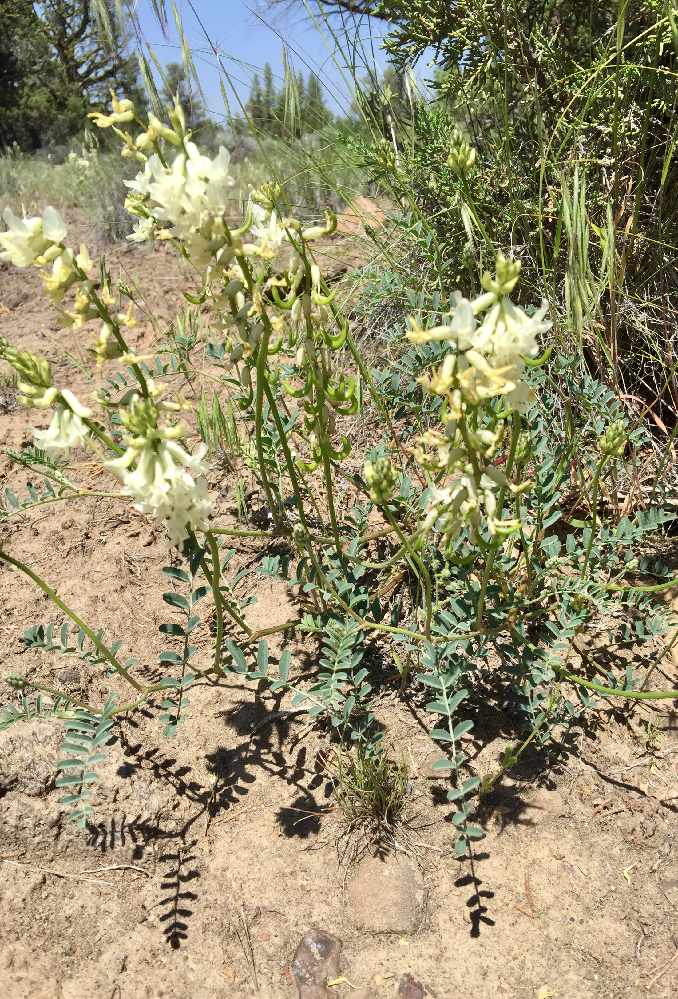
Go past Forest Service (FS) Road 100. On your left, you’ll soon come upon a parking lot, picnic tables, and Ochoco Forest signs. Park here. We discovered pretty wildflowers right in the lot, so be sure to look around – especially down by the creek.
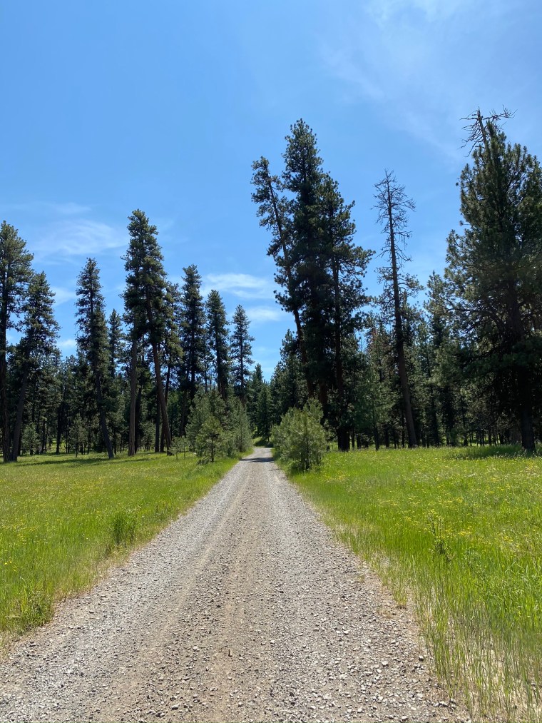
The Ride

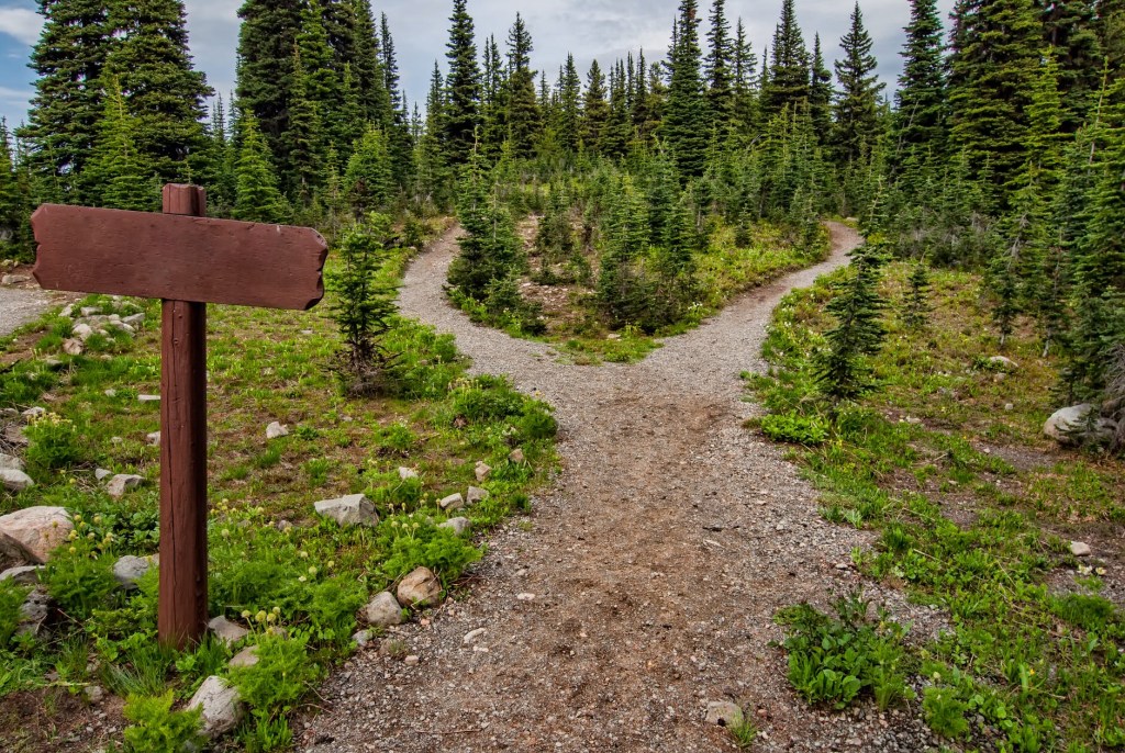
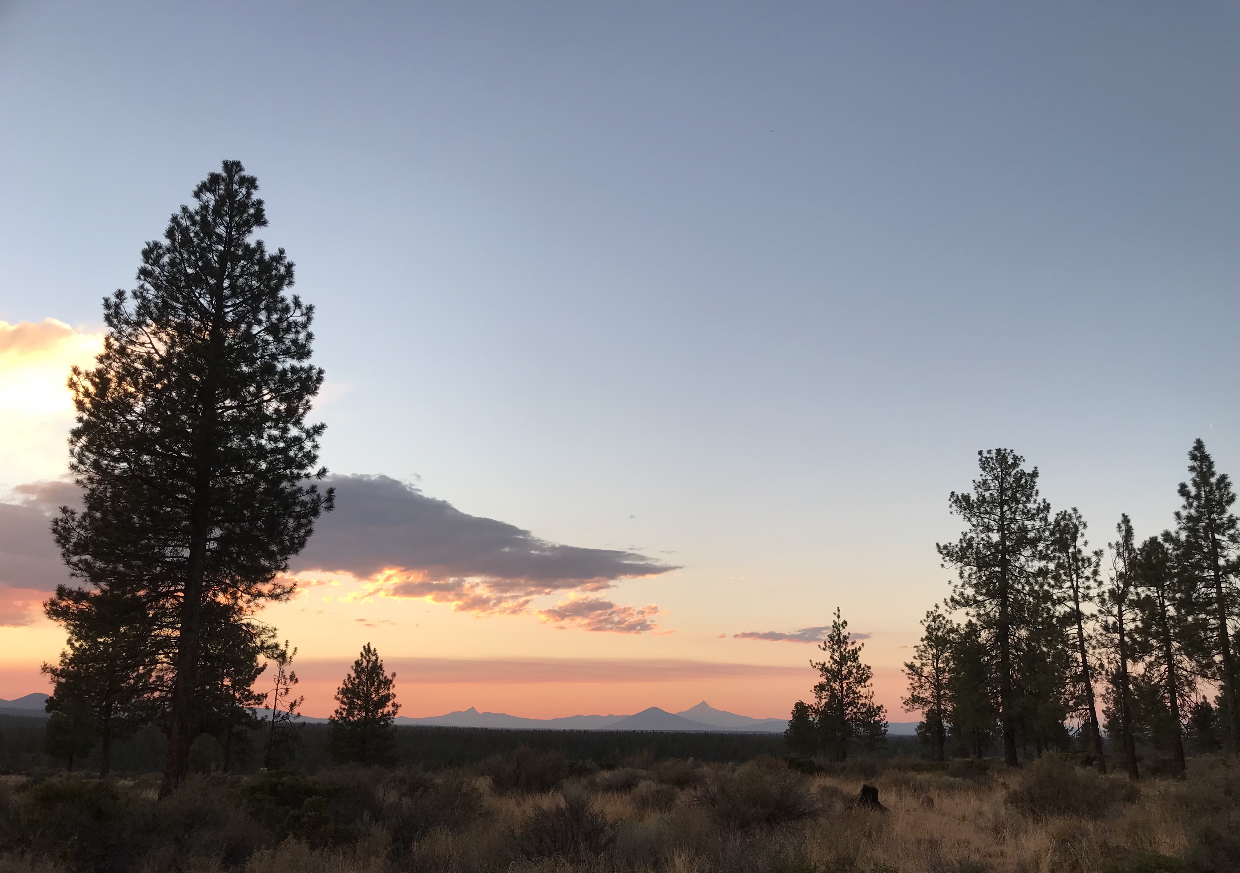
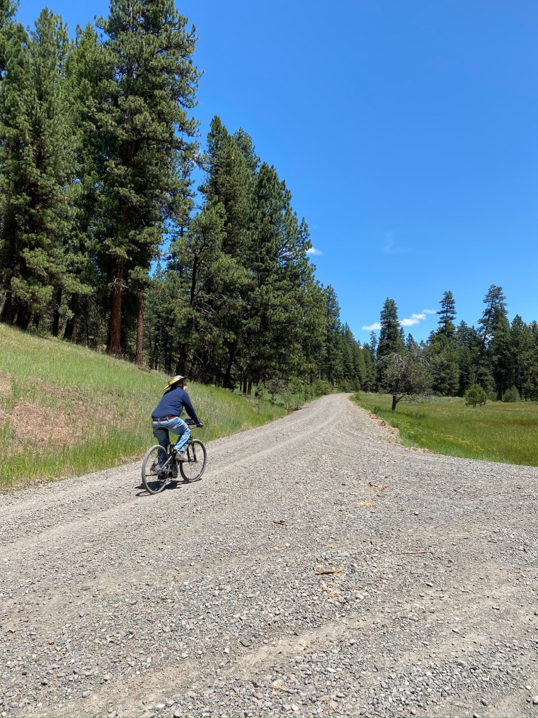
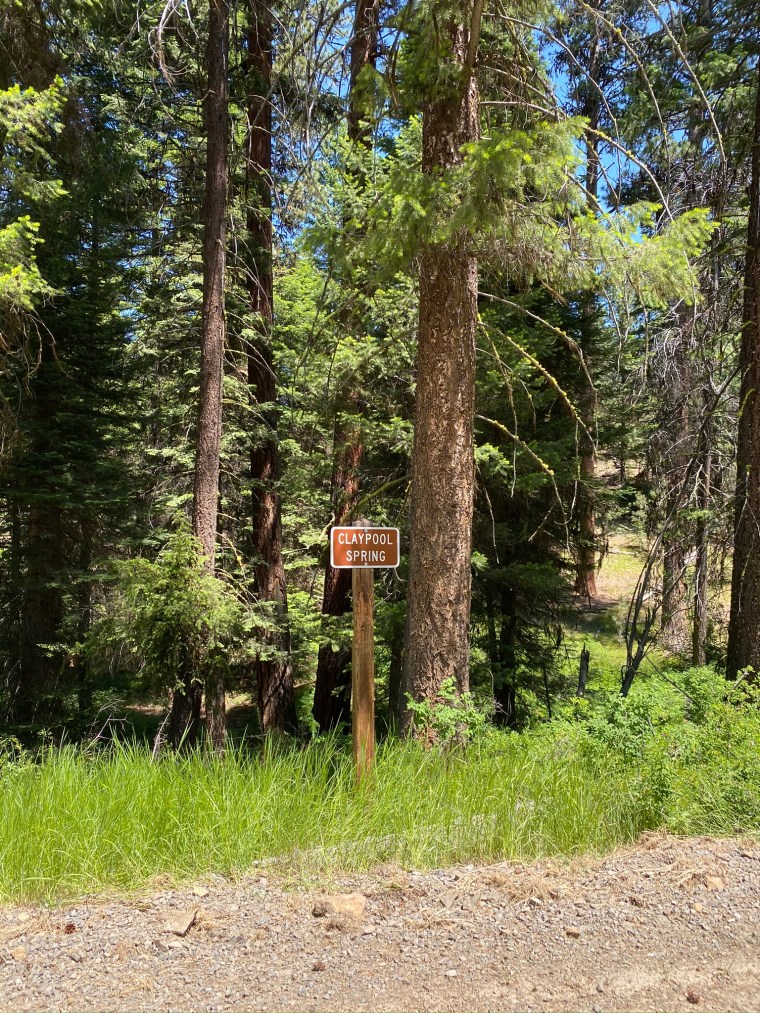
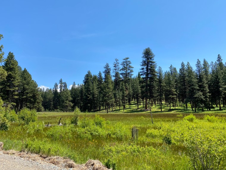
Just past the entry to the parking lot is Coyote Creek Road. Take the bridge across the creek. Proceed straight ahead past the campground on your right. The paved road will become a gravel road as you bike past some forest service buildings on your left. You are now on FS 2610. This well-maintained road winds through the meadows and views pictured above, eventually connecting to Highway 26 on the other end. Explore offshoots as desired, including the short ride in to the old ranger house back at the start.

Elevation Gain

You will gain about 1,000 feet in elevation during this ride. However, it is by far the easiest climb we’ve ever done. It’s very gradual and the road is hard packed. Riding my converted mountain bike, I used pedal assist 1 in low gear and enjoyed pedaling away with very moderate effort at about 9 mph during the uphill portion. This ride is so beautiful you won’t want to speed by in any case.

Road Conditions are … Spectacular

After you complete the initial elevation gain, there will be sections of the road with a bit more gravel, but you’ll be able to handle it easily. No potholes, no ruts, no washouts, no washboards.

Travel Distances

FS 2610 is 20 or so miles long, measured from the old ranger station parking lot to where it connects with Highway 26. Along the way there are offshoots to take, which will affect your mileage. Do as much or as little of the road as you like. Remember, since you climbed 1,000 feet on the ride out, you will be going down 1,000 feet on the way back. No pedal assist needed!

Camping

As you’ll see, FS 2610 is a beautiful place to camp and dispersed campers take advantage. You can too. We noticed several available places to pull off while riding.

Parting Thoughts

Have fun! This is what eBiking is all about. We took this ride in early July, and as you can see there is still plenty of green to enjoy.